Appendix III: Metadata
Direct Download buildings.xml.
Buildings Metadata Statement
Metadata for the Metadata
- Metadata Identifier: 4b639e93-acbc-448f-b556-2798d93cb561
- Time:
- Create Date: 2022-02-02T01:56:57.785613Z
- Revision Date: 2025-06-18T06:30:35.152518Z
- Responsible Party:
- Individual: Michael Dixon
- Organisation: Geoscape Australia
- Position: Chief Data Officer
- Telephone: +61 2 6260 9000
- Delivery point: Unit 6, 113 Canberra Ave Griffith ACT 2603 Australia
- Access, Use, Security:
- Standard: ISO 19115-3
- Language: English
Resource Metadata
- Title: Buildings
- Abstract: Buildings is a national digital dataset representing buildings for each State and Territory in Australia. The dataset consists of four layers which represent the outlines of building objects, related building characteristics and linkages to related foundational data themes
- Purpose: The purpose of Buildings is to spatially represent building-related features for use by industry and government in geographic information systems, visualisations, engineering modelling, and for the derivation of analytics.
- Responsible Party:
- Organisation: Geoscape
- Telephone: +61 2 6260 9000
- Delivery point: Unit 6, 113 Canberra Ave Griffith ACT 2603 Australia
- Access, Use, Security:
- Legal Constraints: Geoscape Australia and its authorised partners license this dataset. Users must comply with the applicable licence terms and the Geoscape Copyright Notice and Disclaimer, available at geoscape.com.au/data-copyright-disclaimer/.
- Security Constraints: None. This dataset is not subject to any security classification.
- Use Limitations: Refer to the product guide available via docs.geoscape.com.au for data quality and related information.
- Releasability: This dataset must not be distributed except in accordance with the terms of the licence under which it was accessed.
- Extents
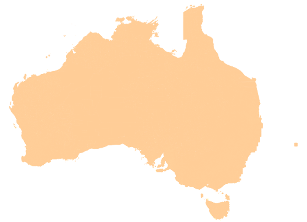
- West/Min X: 100.00
- East/Max X: 160.00
- South/Min Y: -44.00
- North/Max Y: -9.00
- Reference System:
- GDA2020 (EPSG:7844)
- GDA94 (EPSG:4283)
- Australian Height Datum (EPSG:5111)
- Keywords:
- Buildings
- Buildings datasets
- Buildings file
- Solar panels
- Swimming Pools
- Planning data
- Address linkages
- Land parcel linkages
- Built environment
- Building height
- Distribution:
- Format/s:
- ESRI Shapefile
- Mapinfo TAB
- GeoJSON
- ESRI File Geodatabase
- OGC GeoPackage
- Status: completed
- Lineage:
- Additional Documentation
- Title: Buildings Product Description
- Alternate Title: Buildings Product Guide
- Edition: 3.3
- Presentation Format: documentDigital
- Linkage: https://docs.geoscape.com.au/projects/buildings_guide/en/stable/index.html
- Name: Buildings Product Description
- Description: Product Description of the current version of the Geoscape Buildings Product.
- Function: information
- Maintenace and Update Frequency: quarterly

This dataset is available from Geoscape Australia.
Statement:
The buildings theme (buildings layer) consists of digital representations of the roof outline of a building. Buildings have been digitised from remotely sensed imagery using a combination of automated and manual processes to identify, extract and orthogonalise objects resembling a building structure greater than 9m2. The process also determines building attributes including roof materials, the presence of solar panels and the presence of swimming pools. Image quality factors including currency, capture geometry, and applicable weather conditions influence the specific image which can be utilised for further processing. A suitable high-quality Digital Surface Model is constructed to assist with feature extraction. Data quality and potential capture timelines will vary across Australia based on three categories. Each category has been developed based on several factors defined by the population distribution (categorised based on population size), industrial/commercial activities, the probability of natural events (e.g. flooding) and the image source. Urban (satellite source) - areas with a population greater than 200, or with significant industrial/commercial activity in a visual assessment, digitised from satellite imagery Urban (aerial source) - areas with a population greater than 200, or with significant industrial/commercial activity in a visual assessment, digitised from aerial imagery. Rural - all other areas. Linkages from the Buildings theme to other Geoscape data themes (specifically G-NAF, Cadastre, Property, Localities, ABS ASGS, Geoscape Planning) are created through internal production processes. Building change management including process which describe how adds, retires and updates are applied to the dataset are described in the associated product guide.