Data Product Identification
Title
Electoral Boundaries
Alternate Titles
Geoscape Electoral Boundaries
Abstract
Electoral Boundaries is a digital representation of Australia’s electoral divisions or electorates. This dataset provides an optimised aggregated national view of electoral boundary geometry and attribution. The dataset is created from multiple sources including jurisdictional data which is revised regularly and supplied in varying formats and at different levels of quality.
Description
The Electoral Boundaries theme consists of two layers; the Commonwealth Electoral Boundaries (CEB) and the State Electoral Boundaries (SEB).
Commonwealth Electoral Boundaries represent federal electoral divisions legally prescribed by the Australian Electoral Commission (AEC) for the purpose of electing members to the House of Representatives.
State Electoral Boundaries represent state electoral divisions legally prescribed by the various state and territory governments of Australia for the purpose of electing members to the state or territory lower and/or upper houses of parliament. These boundaries differ by state and territory in terms of state electoral class represented (e.g. Legislative Assembly, Legislative Council, House of Assembly). For example, the territories of ACT and NT, as well as the state of QLD only have Legislative Assembly (Lower House) boundaries associated. NSW, SA, VIC and WA all have both Legislative Assembly (Lower House) and Legislative Council (Upper House) boundaries associated. TAS has House of Assembly (Lower House) and Legislative Council (Upper House) boundaries associated.
Purpose
Electoral Boundaries is designed to meet the needs of organisations that require a graphical representation of locations of electoral divisions to integrate with other data in servicing their business needs.
Topic Category
Vector spatial data defined by coordinates (latitude and longitude) with associated textual (aspatial) metadata.
Geographic Description
The spatial coverage of Electoral Boundaries includes Australia’s land mass. The Bounding Box for this data is as follows:
North bounding latitude: -8˚
South bounding latitude: -45˚
East bounding longitude: 168˚
West bounding longitude: 96˚
The area covers the land mass of Australia, including offshore islands (Christmas Island, Cocos (Keeling) Islands, and Norfolk Island). The spatial domain is described by the polygon:
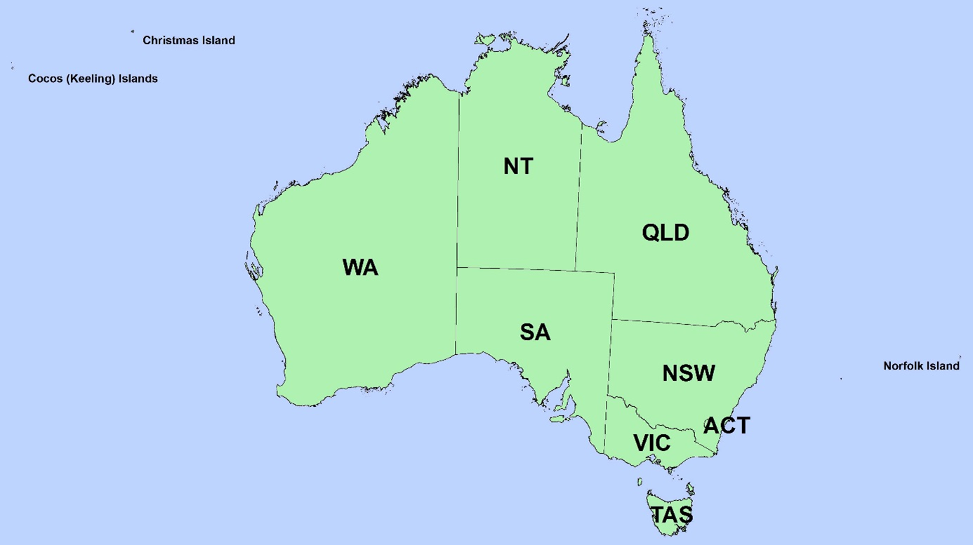
Geographic Extent Name
The States and Territories within Australia are represented by the following:
State or Territory Name |
Abbreviation |
Character Code |
|---|---|---|
New South Wales |
NSW |
1 (or 01) |
Victoria |
VIC |
2 (or 02) |
Queensland |
QLD |
3 (or 03) |
South Australia |
SA |
4 (or 04) |
West Australia |
WA |
5 (or 05) |
Tasmania |
TAS |
6 (or 06) |
Northern Territory |
NT |
7 (or 07) |
Australian Capital Territory |
ACT |
8 (or 08) |
Other Territories |
OT |
9 (or 09) |
Note
Geoscape has adopted the Australian Bureau of Statistics (ABS) definition of ‘Other Territories’ (OT). It includes the Territory of Christmas Island, Territory of Cocos (Keeling) Islands, Jervis Bay Territory and Norfolk Island. OT does not include any other external Territory.