Product Version
2.1
Overview
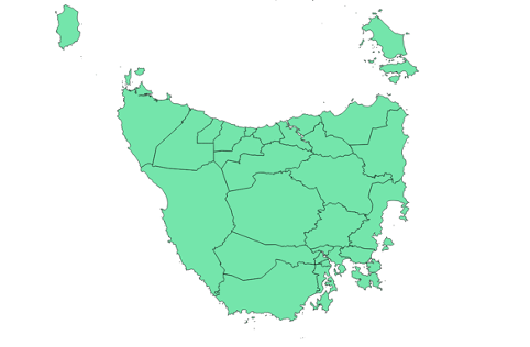
National Local Government Areas is a spatial representation of the administrative divisions that local governments are responsible for across the country. A Local Government Area (LGA) will typically have an elected council as well as a council leader (e.g. mayor, shire president). National Local Government Areas aggregates the representations unique to each jurisdiction into a consistent, seamless representation of the LGA boundaries across Australia.
National Local Government Areas is designed to meet the needs of organisations that require a geospatial representation of LGA boundaries at both a local and national scale. The attribution provided within National Local Government Areas allows for the application of the data across a wide range of commercial, government and research uses. Geoscape Australia welcomes your feedback on our National Local Government Areas product. We also publish regular updates on the development of our products on the Geoscape website (www.geoscape.com.au).