Product Version
1.1
Overview
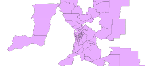
National Wards is a spatial representation of the gazetted ward districts, which are a subset of Local Government Area boundaries defined by the State and Territory governments of Australia. Wards represent distinct areas within a local government area that relate to the election of councillors for the related local government. Not all Local Government Areas consist of Wards. National Wards aggregates the representations unique to each jurisdiction into a consistent, seamless representation of the ward boundaries across Australia.

Geoscape Australia welcomes your feedback on our National Wards product. We also publish regular updates on the development of our products on the Geoscape website (www.geoscape.com.au).