Appendix I: Metadata
Direct Download wards.xml.
National Wards Metadata Statement
Metadata for the Metadata
- Metadata Identifier: b3d7f2a6-8e4c-4a9d-9f2e-7c1a3b8f6d91
- Time:
- Create Date: 2022-02-02T01:56:57.785613Z
- Revision Date: 2025-06-18T06:30:35.152518Z
- Responsible Party:
- Individual: Michael Dixon
- Organisation: Geoscape Australia
- Position: Chief Data Officer
- Telephone: +61 2 6260 9000
- Delivery point: Unit 6, 113 Canberra Ave Griffith ACT 2603 Australia
- Access, Use, Security:
- Standard: ISO 19115-3
- Language: English
Resource Metadata
- Title: National Wards
- Abstract: Wards is a spatial representation of gazetted ward districts (a subset of Local Government Area boundaries) defined by State and Territory governments, aggregated into a consistent, seamless national representation of ward boundaries across Australia.
- Purpose: To provide a consistent national ward boundary dataset that supports use alongside LGA information, where wards represent distinct areas used for electing councillors within a local government area (noting that not all LGAs have wards).
- Responsible Party:
- Organisation: Geoscape
- Telephone: +61 2 6260 9000
- Delivery point: Unit 6, 113 Canberra Ave Griffith ACT 2603 Australia
- Access, Use, Security:
- Legal Constraints: Geoscape Australia and its authorised partners license this dataset. Users must comply with the applicable licence terms and the Geoscape Copyright Notice and Disclaimer, available at geoscape.com.au/data-copyright-disclaimer/.
- Security Constraints: None. This dataset is not subject to any security classification.
- Use Limitations: Refer to the product guide available via docs.geoscape.com.au for data quality and related information.
- Releasability: This dataset must not be distributed except in accordance with the terms of the licence under which it was accessed.
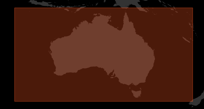
- Extents
- West/Min X: 96.00
- East/Max X: 168.00
- South/Min Y: -45.00
- North/Max Y: -8.00
- Reference System:
- GDA2020 (EPSG:7844)
- GDA94 (EPSG:4283)
- Australian Height Datum (EPSG:5111)
- Keywords:
- National Wards
- Wards
- Wards datasets
- Wards file
- Wards file
- Distribution:
- Format/s:
- ESRI Shapefile
- Mapinfo TAB
- GeoJSON
- ESRI File Geodatabase
- OGC GeoPackage
- Status: completed
- Lineage:
- Additional Documentation
- Title: Buildings Product Description
- Alternate Title: Buildings Product Guide
- Edition: 3.3
- Presentation Format: documentDigital
- Linkage: https://docs.geoscape.com.au/projects/wards_guide/en/stable/index.html
- Name: Buildings Product Description
- Description: Product Description of the current version of the Geoscape Buildings Product.
- Function: information
- Maintenace and Update Frequency: quarterly
This dataset is available from Geoscape Australia.
Statement:
Wards is created by processing ward boundary data sourced from States and Territories: source attributes are mapped and standardised into a coherent national definition, and geometries are cleaned and processed to output a topologically consistent national ward boundary layer. Geoscape also generates and integrates additional attributes to support jurisdictional context and usability, and maintains the dataset through regular releases with defined linkage to Local Government Areas (each ward relates to a single LGA).