Product Version
1.1
Overview
National Cadastre is a spatial representation of cadastral parcels defined by the State and Territory governments of Australia. National Cadastre aggregates the complex representations unique to each jurisdiction into a consistent, seamless representation of the cadastral fabric of Australia. With the representation of Lot, Strata, Stratum, and Road plans, National Cadastre informs on the boundaries and associated attributes of these features in addition to providing linkages to jurisdiction Land Registries, and other products commonly used alongside National Cadastre e.g. G-NAF. Australian cadastral parcels represent the smallest legal area of land capable of sale without further approval to subdivide. These parcels can be referenced by a Land Title which offers the opportunity to link to jurisdictional information that can include: the certificate of title or crown lease, valuation information, land descriptions and more, through the State’s or Territory’s Land Registry.
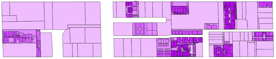
National Cadastre is designed to meet the needs of organisations that require a geospatial representation of land parcel boundaries at both a local and broad scale. The attribution of parcels provided within National Cadastre allows for the application of the data across a wide range of commercial, government and research uses. National Cadastre can also be used to identify changes in the urban landscape, such as subdivision of greenfield developments or blocks into multi building dwellings or the development of high-rise buildings. Geoscape Australia welcomes your feedback on our National Cadastre product. We also publish regular updates on the development of our products on the Geoscape website ( www.geoscape.com.au ).