Annex A - User Guide
Differentiating Gazetted Localities from Districts in the ACT
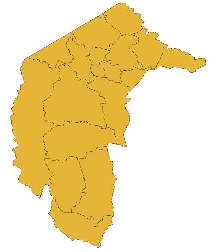
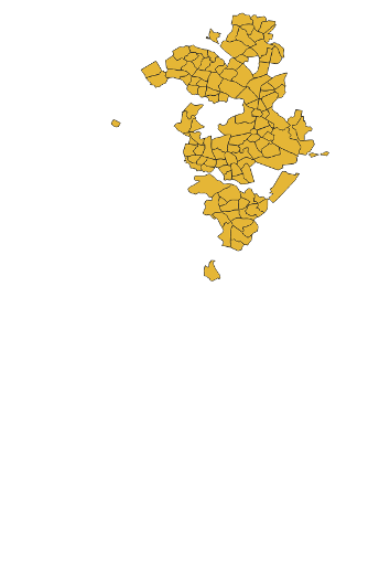
The Australian Capital Territory is divided into geographic areas known as Districts. Districts are further divided by deposited plans into Divisions (suburbs). There are areas in the ACT where Divisions and Districts overlap, as well as areas only covered by Districts. Divisions have been classified with a locality class of ‘Gazetted Locality’ as they represent suburbs. Districts have been assigned their own classification of ‘District’. Districts and Divisions can be differentiated by selecting locality_class values of ‘District’ or ‘Gazetted Locality’ respectively.
District (District) |
Division (Gazetted Locality) |
|
|