Product Version
1.1
Overview
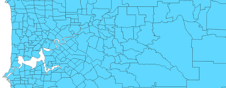
National Localities is a spatial representation of suburbs (urban) and localities (rural) defined by the State and Territory governments of Australia. They represent distinct communities across the country. National Localities aggregates the representations unique to each jurisdiction into a consistent, seamless representation of suburb and locality boundaries across Australia. Localities are integral for addressing and postal distribution purposes.

National Localities is designed to meet the needs of organisations that require a geospatial representation of suburb and locality boundaries at both a local and national scale. The attribution provided within National Localities allows for the application of the data across a wide range of commercial, government and research uses. National Localities can also be used to identify the creation of new suburbs. Geoscape Australia welcomes your feedback on our National Localities product. We also publish regular updates on the development of our products on the Geoscape website (www.geoscape.com.au).