Data Product Identification
Title
National Postcode Boundaries
Alternate Titles
National Postcode Boundaries for Australia
Abstract
This National Postcode Boundaries Product Description is an ISO 19131 compliant description.
Purpose
This dataset provides the definitive postcode dataset for the entire Australian extent – see Extent below. It has been developed jointly by Geoscape and Australia Post to support the spatial analysis and visualisation of postcode areas.
Topic Category
Polygons defined by coordinate spatial data (latitude and longitude) with associated textual metadata.
Geographic Description
The National Postcode Boundaries dataset covers the addresses within the complete national geography of Australia (AUS). The Bounding Box for this data is as follows:
North bounding latitude: -8˚
South bounding latitude: -45˚
East bounding longitude: 168˚
West bounding longitude: 96˚
This area covers the land masses of Australia, including External Territories and offshore islands (Christmas Island, Cocos (Keeling) Islands, and Norfolk Island). The spatial domain is described by the polygon:
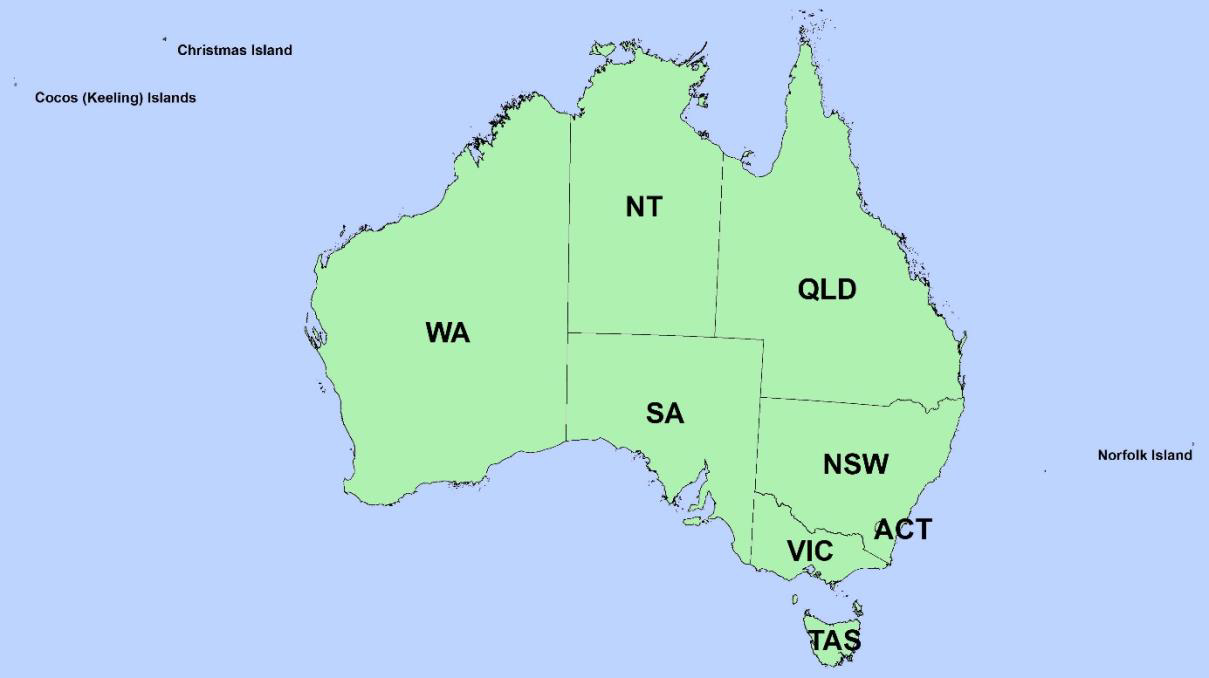
Geographic Extent Name
AUSTRALIA INCLUDING EXTERNAL TERRITORIES – AUS – Australia – Australia
The States and Territories within Australia are represented by the following:
State or Territory Name |
Abbreviation |
Character Code |
|---|---|---|
New South Wales |
NSW |
1 (or 01) |
Victoria |
VIC |
2 (or 02) |
Queensland |
QLD |
3 (or 03) |
South Australia |
SA |
4 (or 04) |
Western Australia |
WA |
5 (or 05) |
Tasmania |
TAS |
6 (or 06) |
Northern Territory |
NT |
7 (or 07) |
Australian Capital Territory |
ACT |
8 (or 08) |
Other Territories |
OT |
9 (or 09) |
Note
Geoscape has adopted the Australian Bureau of Statistics (ABS) definition of ‘Other Territories’ (OT). It includes the Territory of Christmas Island, Territory of Cocos (Keeling) Islands, Jervis Bay Territory and Norfolk Island. OT does not include any other external Territory.