Appendix C: Metadata
Direct Download roads.xml.
National Roads Metadata Statement
Metadata for the Metadata
- Metadata Identifier: b1f8e2a4-7c3d-4e6a-9f2d-8d4b1a6c9e32
- Time:
- Create Date: 2022-02-02T01:56:57.785613Z
- Revision Date: 2025-06-18T06:30:35.152518Z
- Responsible Party:
- Individual: Michael Dixon
- Organisation: Geoscape Australia
- Position: Chief Data Officer
- Telephone: +61 2 6260 9000
- Delivery point: Unit 6, 113 Canberra Ave Griffith ACT 2603 Australia
- Access, Use, Security:
- Standard: ISO 19115-3
- Language: English
Resource Metadata
- Title: National Roads
- Abstract: Roads is a national digital dataset that provides an optimised, aggregated view of Australia's road geometry and attribution, created from multiple sources (including jurisdictional data) that are revised regularly and supplied in varying formats and quality.
- Purpose: The purpose of Roads is to provide a single national digital representation of Australian roads with detailed attribution to support visualisation, analysis and logistics planning at both national and local scales.
- Responsible Party:
- Organisation: Geoscape
- Telephone: +61 2 6260 9000
- Delivery point: Unit 6, 113 Canberra Ave Griffith ACT 2603 Australia
- Access, Use, Security:
- Legal Constraints: Geoscape Australia and its authorised partners license this dataset. Users must comply with the applicable licence terms and the Geoscape Copyright Notice and Disclaimer, available at geoscape.com.au/data-copyright-disclaimer/.
- Security Constraints: None. This dataset is not subject to any security classification.
- Use Limitations: Refer to the product guide available via docs.geoscape.com.au for data quality and related information.
- Releasability: This dataset must not be distributed except in accordance with the terms of the licence under which it was accessed.
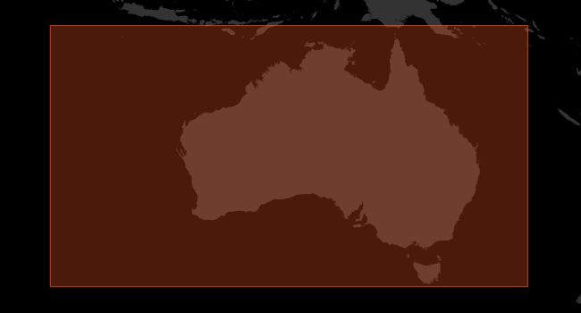
- Extents
- West/Min X: 96.00
- East/Max X: 160.00
- South/Min Y: -44.00
- North/Max Y: -9.00
- Reference System:
- GDA2020 (EPSG:7844)
- GDA94 (EPSG:4283)
- Australian Height Datum (EPSG:5111)
- Keywords:
- National Roads
- Roads
- Roads datasets
- Roads file
- Distribution:
- Format/s:
- ESRI Shapefile
- Mapinfo TAB
- GeoJSON
- ESRI File Geodatabase
- OGC GeoPackage
- Status: completed
- Lineage:
- Additional Documentation
- Title: National Roads Product Description
- Alternate Title: National Roads Product Guide
- Edition: 3.3
- Presentation Format: documentDigital
- Linkage: https://docs.geoscape.com.au/projects/roads_description/en/stable/index.html
- Name: Roads Product Description
- Description: Product Description of the current version of the National Roads Product.
- Function: information
- Maintenace and Update Frequency: monthly
This dataset is available from Geoscape Australia.
Statement:
National Roads is continuously built by sourcing road centreline data from a broad range of organisations, with State and Territory governments providing the primary inputs that form the basis of the national road network. Incoming datasets are quality assured, standardised, integrated and topology-corrected before publication, and Geoscape may also digitise or integrate additional centrelines where reliable sources improve national quality and consistency. As part of production, attribute population follows defined rules (with unknowns left as NULL), and connectivity around State/Territory borders is reviewed and corrected where issues are identified. Ongoing maintenance applies validated supply changes by creating new features, updating existing features (and date_modified) when differences are present, or retiring features when suppliers remove or stop providing them; the product is then released monthly via the online delivery system.