Data Product Identification
Title
National Roads
Alternate Titles
Geoscape National Roads
Abstract
National Roads is a digital representation of roads for Australia. This dataset provides an optimised aggregated national view of road geometry and attribution. The dataset is created from multiple sources including jurisdictional data which is revised regularly and supplied in varying formats and at different levels of quality.
Purpose
The purpose of National Roads is to provide a single national digital representation of Australian roads with detailed attribution to enable clients to undertake activities including visualisation, analysis and logistics planning at both a national and local scale.
Topic Category
Vector and data defined by coordinates (latitude and longitude) with associated textual (aspatial) metadata.
Geographic Description
The spatial coverage of National Roads includes Australia’s land mass. The Bounding Box for this data is as follows:
North bounding latitude: -9˚
South bounding latitude: -44˚
East bounding longitude: 160˚
West bounding longitude: 96˚
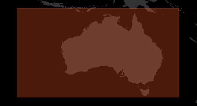
The area covers the land mass of Australia, including offshore islands. Norfolk Island is currently not included.
The States and Territories within Australia are represented by the following:
State or Territory Name |
Abbreviation |
|---|---|
New South Wales |
NSW |
Victoria |
VIC |
Queensland |
QLD |
South Australia |
SA |
Western Australia |
WA |
Tasmania |
TAS |
Northern Territory |
NT |
Australian Capital Territory |
ACT |
Other Territories of Australia are mapped to a State as described below:
WA: Territory of Christmas Island, Territory of Cocos (Keeling) Islands
NSW: Jervis Bay Territory